Oliver Lock has academic publications with over 750 citations and an h-index of 10. His research has focused on on urban informatics, artificial intelligence, spatial data science, participatory and transportation analytics. The majority of publications were during his PhD research period, as such leading the research as primary author:
2022
Oliver Lock, Christopher Pettit (2022). Developing Participatory Analytics Techniques to Inform the Prioritisation of Cycling Infrastructure. ISPRS International Journal of Geo-Information 11 (2), 78.
B Soundararaj, C Pettit, Oliver Lock. Using real-time dashboards to monitor the impact of disruptive events on real estate market. Case of COVID-19 pandemic in Australia. Computational Urban Science 2 (1), 14.
CJ Pettit, S Zarpelon Leao, Oliver Lock, M Ng, J Reades. Big data: the engine to future cities—a reflective case study in urban transport. Sustainability 14 (3), 1727.
2021
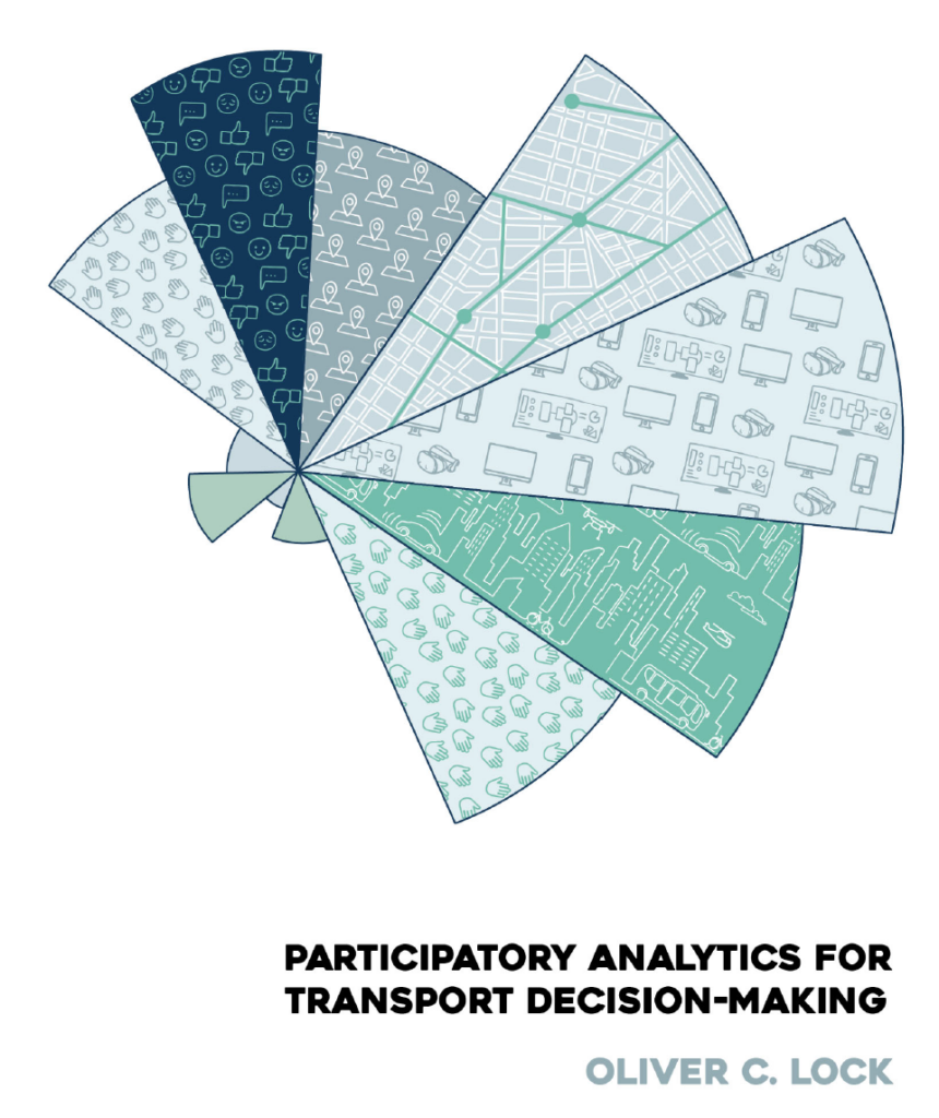
Oliver Lock (2021). Participatory analytics for transport decision-making. PhD thesis. Hosted by UNSWorks.
Ripan Debnath, Christopher Pettit, Simone Zarpelon Leao and Oliver Lock. The role of technology tools to support geodesign in resilience planning. Urban Informatics and Future Cities, 447-463
Arzu Çöltekin, Ian Lochhead, Marguerite Madden, Sidonie Christophe, Alexandre Devaux, Christopher Pettit, Oliver Lock, Shashwat Shukla, Lukáš Herman, Zdeněk Stachoň, Petr Kubíček, Dajana Snopková, Sergio Bernardes, Nicholas Hedley (2021). Extended reality (XR: VR, AR, MR) in GIScience: Research challenges and future directions. ISPRS International Journal of Geo-Information.
2020
Lock, O. (2020). Preliminary findings from a participatory cycling investment index for Sydney. Australian Walking and Cycling Conference. Newcastle, NSW [Online].
Lock, O., Bain, M., Pettit, C. (2020). Towards the collaborative development and use of Machine Learning techniques in Planning Support Systems – a Sydney example. Environment and Planning B: Urban Analytics & City Science. SAGE Publishing.
Lock, O., Bednarz, T. & Pettit, C. (2020). The visual analytics of big, open public transport data – a framework and pipeline for monitoring system performance in Greater Sydney. Big Earth Data Journal. Taylor & Francis.
Lock, O. & Pettit, C. (2020). Social Media as passive geo-participation in transportation planning – how effective are topic modelling & sentiment analysis in comparison with citizen surveys? Geo-spatial Information Science. Taylor & Francis.
Lock, O. (2020). Cycling Behaviour Changes as a Result of COVID-19: A Survey of Users in Sydney, Australia. Transport Findings.
Lock, O., Pinnegar, S., Leao, S., Pettit, C. (2020). The Making of a Mega-region: Evaluating and Proposing Long-term Transport Planning Strategies with Open-source Data and Transport Accessibility Tools. In: Geertman, S and Stillwell, J. (eds) Handbook on Planning Support Science. Edward Elgar Publishing.
Lock, O. (2020). High-volume public transport vehicle locations (rail, bus, ferry and light rail) and performance metrics for Sydney dated from March 2018 to April 2019 (GTFS Real-time). Mendeley Data. DOI: http://dx.doi.org/10.17632/gstfpzg339.1
2019
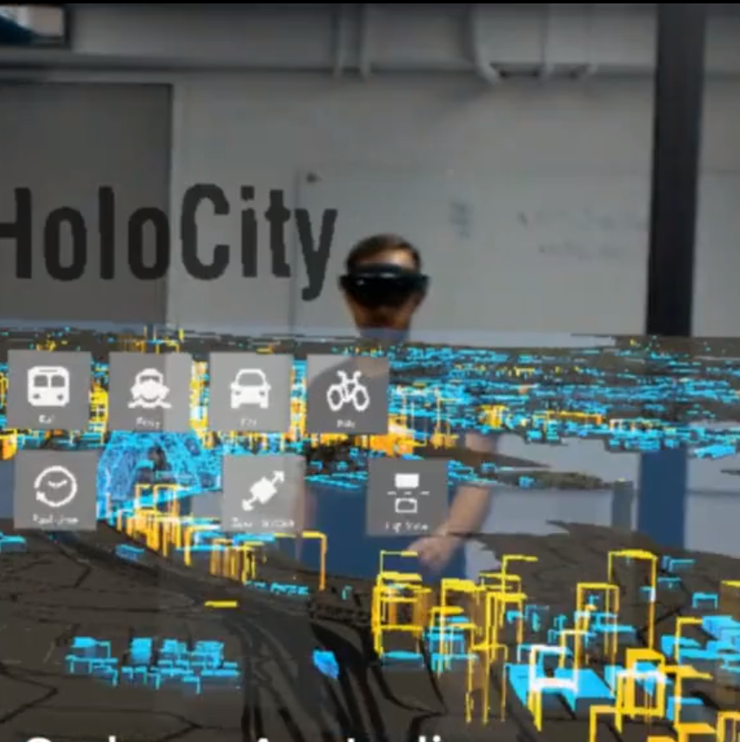
Lock, O., Bednarz,T., Pettit, C. (2019). HoloCity–exploring the use of augmented reality cityscapes for collaborative understanding of high-volume urban sensor data. The 17th International Conference on Virtual-Reality Continuum and its Applications in Industry.
Lock, O., Leao, S., Bednarz, T. and Pettit,C. (2019). A review and reframing of participatory urban dashboards. City, Culture and Society.
Lock,O. and Pettit, C. (2019). Visualising large-scale population distribution in Australia over time using rapid 3D web graphics libraries. Australian Population Studies.
Lock, O., Bednarz,T. and Pettit,C. (2019). Holocity: Using Augmented Reality For Visual Analytics Of High-Volume Sensor Data To Support City Planning. 24th International ACM Conference on 3D Web Graphics and Interactive Technology (Web3D 2019), Los Angeles.
Lock, O., Bednarz, T. and Pettit, C. (2019). HoloCity – visual analytics of real-time and massive passively-collected spatiotemporal urban sensor data in augmented reality. In: 2nd International Conference on Urban Informatics (ICUI), Hong Kong.
Lock, O., Bednarz, T. and Pettit, C. (2019). Computational urban transport performance monitoring – visualisation of high-volume, longitudinal transport sensor data with rapid 3D web graphics libraries. In: 16th International Conference on Computers in Urban Planning and Urban Management. July 2019. Wuhan, China.
Lock, O., Leao,S.,Bednarz, T. and Pettit, C. (2019). A framework for the design and evaluation of effective participatory urban data platforms – twelve key components. In: 16th International Conference on Computers in Urban Planning and Urban Management. July 2019. Wuhan, China.
Lock, O., Bain, M. and Pettit, C. (2019). UrbanAI – Developing machine learning approaches and interfaces to support the planning and delivery of transport and housing in Sydney. In: 2nd International Conference on Urban Informatics (ICUI), Hong Kong.
2017
Lock, O. Using open-source data and transit network tools to improve our understanding of accessibility – a case study of the Sydney ‘30-minute city’. 10th International Symposium on Digital Earth & Locate17, Sydney.
Lock, O. & Schmid,C. Open-source, destination-based accessibility analysis – is Sydney a 30-minute city?. Planning Institute of Australia (PIA) National Congress, Sydney
Erhardt, GD., Lock, O., Arcaute, E & Batty, M. A Big Data mashing tool for measuring transit system performance. [Book Chapter] Seeing Cities Through Big Data, 257-278.
2016
Colaiacomo, A., Lock, O. Where to from here? A modelling methodology for measuring land-use and public transport accessibility in Melbourne. Australian Institute of Traffic Planning and Management (AITPM) National Conference, Sydney
2015
Lock, O., Erhardt, GD. Keeping Track—The Fusion of Large, Automatically Collected Transport Data in Capturing Long-Term System Change. Australian Institute of Traffic Planning and Management (AITPM) National Conference, Brisbane
2014
Lock, O. The use of automatically-collected transport data in the spatiotemporal analysis and visualisation of policy change: a case study of the San Francisco Municipal Railway. University College London, The Bartlett Centre for Advanced Spatial Analysis (CASA)
2013
Russell,M., Williams,JK., Howell,C., Cameron, R. & Lock, O. Using Mobile and Web Content to Engage Students with Academic Integrity: The FAIR Project. CAPHIA Teaching and Learning Forum: Public Health Teaching In A Changing University Environment
Reviewer experience
Infrastructures Journal (Guest Reviewer)
Sustainability Journal (Guest Reviewer)
Geo-spatial Information Science Journal (Guest Reviewer)
Environment and Planning B: Urban Analytics and City Science (Guest Reviewer)
Progress in Planning (Guest Reviewer)
Teaching Experience
- 3D modelling, animation & games programming (school holidays & after school courses), 2009-2012, Bubbledome Education
- Research Computing (UNIX, Web Programming, Referencing), 2013, University College London (UCL), Information Systems
- Python for Engineers (Visualisation Courses), 2016, Arup University
- Python for Engineers (Visualisation Courses), 2017, Arup University
- Digital Cities, 2018 – Postgraduate Course, Faculty of Built Environment
- Programmable Cities, 2018 – Postgraduate Course, Faculty of Built Environment
- Geocomputation, 2018 – Postgraduate Course, Faculty of Built Environment
- Digital Cities, 2019 – Postgraduate Course, Faculty of Built Environment
- Programmable Cities, 2019 – Postgraduate Course, Faculty of Built Environment
- Geocomputation, 2019 – Postgraduate Course, Faculty of Built Environment
- Geodesign, 2019 – Postgraduate Course, Faculty of Built Environment
- Digital Cities, 2020 – Postgraduate Course, Faculty of Built Environment
- Programmable Cities, 2020 – Postgraduate Course, Faculty of Built Environment
- Programmable Cities, 2021 – Postgraduate Course, Faculty of Built Environment
Student comments:
“Oliver was extremely enthusiastic about the topics of his presentation. The open ended introduction to topics was effective, with an overview of the minimum needed to interact with existing tools and a guide for where to find more.” Teaching at UNSW. Term 1, 2019
“Oliver loves what he is doing, and it can be felt while he is teaching. Also, he always uses a bit of humor and shows how the content taught relates to real life situations.” Teaching at UNSW, Term 2, 2019
“Oliver’s teaching style suits this course quite well. He clearly understands the content well and his explanations are clear.” Teaching at UNSW, Term 2, 2019
Thesis Supervision
Weihang Nie – Active Transport & Micromobility in Sydney : Bachelor of City Planning (Honours Thesis). 2021.
Roseanna Meech – Strava Metro: The Missing Link in Active Transport Planning : Bachelor of City Planning (Honours Thesis). 2021.
